3.3
Habitat structure survey
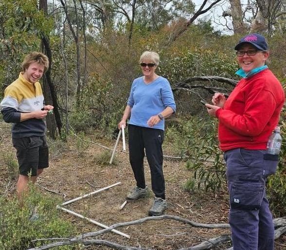
This survey measures the shape of the bush rather than its species — how much canopy, midstorey and ground cover there is, and how much of it is native. It is the quickest way to see which layer is lagging, and it needs no plant identification beyond native or not.
Protocol — habitat structure1
- Canopy
- Number of trees; species present; proportion native; how many large and how many small; hollows visible; mistletoe present; anything flowering; overall canopy cover.
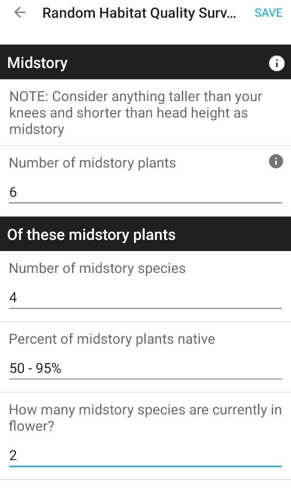
- Midstorey
- Number of plants; number of species; proportion native; anything flowering; which natives and which invasives.
- Understorey
- Proportion of the ground that is bare soil, leaf litter, grasses and sedges, and broadleaf plants.
- Repeat
- Same plots, same season, once a year.
Run it in both monitoring plots (3.1) and compare. A canopy recovering while the midstorey stays open is the pattern to watch for — it usually means either obligate seeders lost (2.2) or browsing pressure (4.4).
Needed
Plot size and shape for this survey, and whether the proportions are estimated in bands or as numbers. The field schema gives every variable recorded but not the geometry or the estimation method.